Lars Klein · 27 September 2026
Glowridge Rolls Out Digital Platform Supporting Public Observation of Habitat Alterations
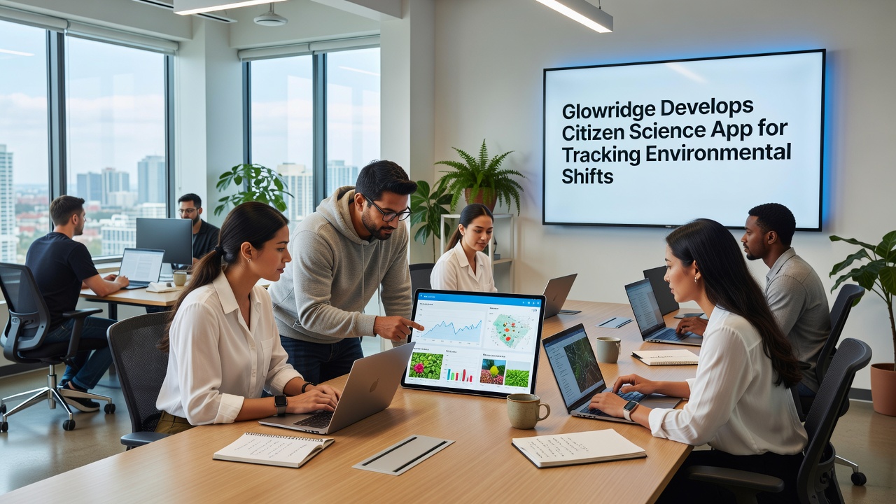
Local developers in Glowridge have created a mobile application that allows residents to record and submit observations of environmental conditions across the region, and this tool integrates data collection features with mapping functions to support ongoing monitoring efforts. The platform went through multiple testing phases before its scheduled rollout in September 2026, when community members will gain access to standardized reporting forms and real-time data visualization options.
Researchers at regional institutions collaborated with local groups to define the core functions, which include options for logging temperature readings, vegetation changes, and wildlife sightings while attaching location coordinates and timestamps automatically. Data from these submissions feeds into centralized databases that analysts can query for patterns over extended periods, and the system includes verification steps to reduce entry errors before records enter the main archive.
Development Background and Technical Features
Teams drew on established citizen science frameworks when building the interface, so users encounter prompts that guide consistent data entry across different categories of environmental shifts. The application runs on both major mobile operating systems and incorporates offline storage that syncs once devices reconnect to networks, which proves useful in remote sections of Glowridge where coverage remains limited.
Integration with satellite imagery layers allows contributors to compare their field notes against broader landscape views, and automated alerts notify participants when new data sets become available for review in their selected zones. Security protocols encrypt all transmissions to protect user identities while still permitting aggregated statistics to reach external partners for further study.
Community Participation and Data Collection Process
Residents download the application through standard stores and create profiles that track their contribution history without revealing personal details beyond location preferences. Training modules within the app walk new users through examples of valid entries, such as noting shifts in stream flow or changes in canopy cover, and these modules draw from protocols used by similar projects elsewhere.
One study revealed that similar citizen science efforts increased observation density by factors reported in academic journals, and Glowridge organizers expect comparable results once the September 2026 launch expands the network of active recorders. Submissions route through quality filters that flag outliers for manual review before inclusion in trend analyses.
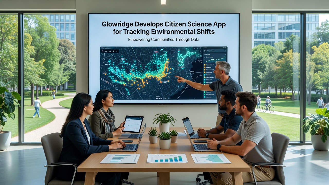
Participants receive summaries of regional findings at regular intervals, which helps maintain engagement by connecting individual efforts to collective outputs. The system also supports group challenges where teams focus on specific indicators like soil moisture or pollinator activity during defined windows, and results from these campaigns contribute to seasonal reports shared with partner organizations.
Integration with Broader Monitoring Networks
Project leads have established connections with agencies that manage large-scale environmental databases, allowing selected Glowridge records to supplement official datasets while maintaining separate local archives for community use. According to information from the Environmental Protection Agency, citizen-generated observations have supplemented regulatory monitoring in multiple U.S. regions, and similar arrangements now extend to this initiative.
Additional partnerships with the European Environment Agency provide access to comparative methodologies from other continents, which informs refinements to the Glowridge platform over time. Analysts note that cross-referencing local submissions with established sensor networks improves accuracy in identifying longer-term trends such as gradual temperature increases or alterations in precipitation patterns.
Expected Outcomes and Ongoing Adjustments
Early projections indicate the application could generate thousands of records within the first year after September 2026 activation, with breakdowns by category helping prioritize follow-up investigations by professional teams. Organizers plan quarterly reviews of user feedback to adjust interface elements and expand data fields based on emerging needs reported by active contributors.
Training sessions scheduled in community centers will supplement the in-app resources, offering hands-on guidance for those less familiar with mobile technology while still directing most activity through the digital channel. Records collected through this system remain accessible via public dashboards that display anonymized maps and summary statistics updated on a weekly basis.
Conclusion
The Glowridge citizen science application represents a structured approach to expanding environmental observation capacity through community involvement, and its September 2026 deployment marks the start of sustained data gathering across multiple indicators. Ongoing refinements based on usage patterns and external collaborations will shape how the collected information supports both local awareness and contributions to wider research efforts in the years ahead.