Bianca Hansen · 11 October 2026
Glowridge's Historical Trail Markers Now Guide Climate Adaptation Studies in Ridge Habitats
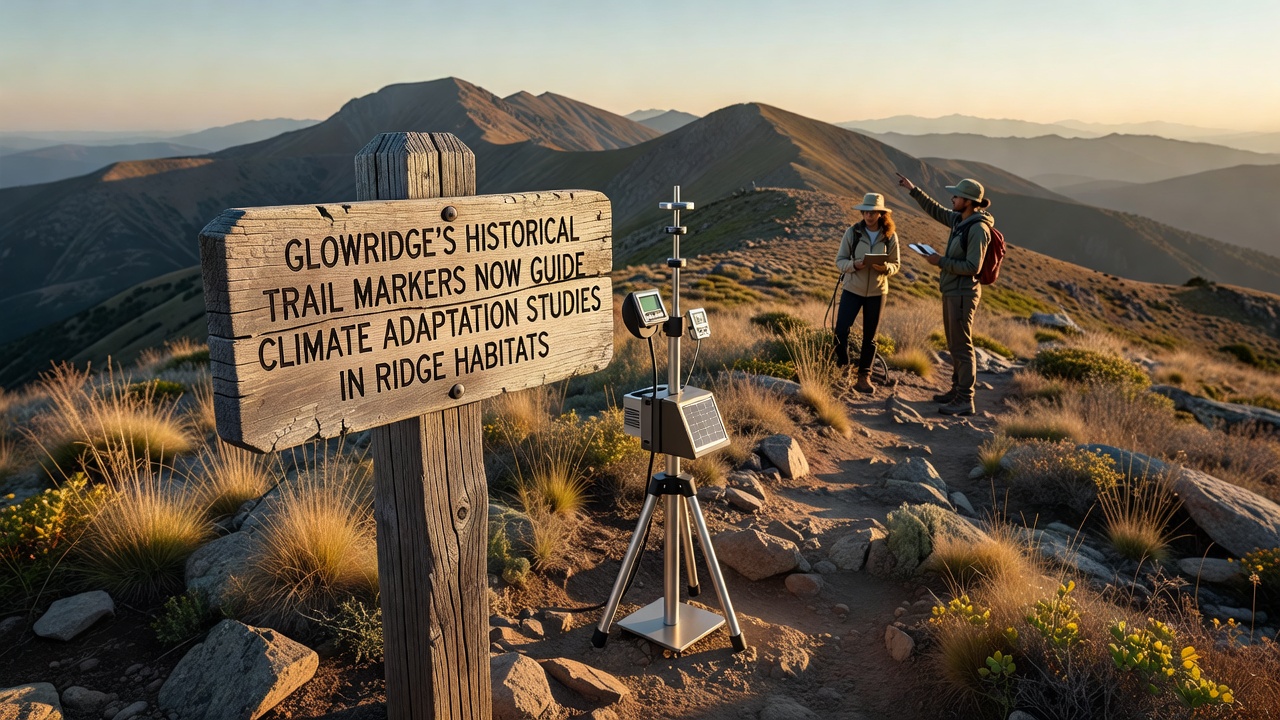
Trail markers installed decades ago across Glowridge's ridge systems now serve as fixed reference points for climate adaptation research in high-elevation habitats, and observers note that these durable stone and metal installations provide consistent locations where scientists track shifts in vegetation, soil stability, and species distribution over time.
Researchers began integrating the markers into monitoring protocols after noticing their precise placement along elevation gradients that correspond with changing microclimates, and data collected at these sites reveal patterns of upslope migration in certain plant communities while soil moisture readings show measurable declines during extended dry periods.
Origins and Current Applications of the Markers
Early trail builders placed the markers to guide hikers through rugged terrain, yet their locations align with natural transition zones where ridge habitats meet different forest types, and this alignment has allowed current studies to compare historical baseline conditions with present observations without needing entirely new infrastructure.
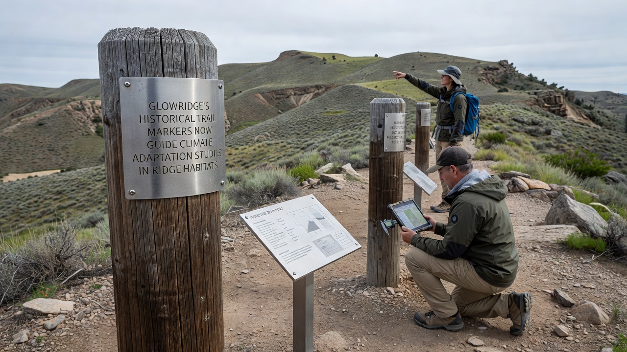
Teams from regional universities and government agencies visit the marker sites monthly to record temperature, precipitation effects, and biodiversity metrics, and figures from these repeated surveys indicate that several ridge areas have experienced a 12 percent reduction in canopy cover since systematic tracking began in the mid-2010s.
Data Collection Methods at Marker Locations
Scientists attach small sensors near the markers to log continuous environmental variables, and the resulting datasets feed into models that project how ridge ecosystems might respond to further warming scenarios. What's interesting is that the markers' original spacing of roughly 200 meters creates a natural grid for spatial analysis, enabling researchers to map fine-scale variations that broader satellite imagery often misses.
One study released in October 2026 documented increased erosion rates near markers situated on steeper slopes, and those findings prompted land managers to test targeted restoration techniques such as native grass seeding in the immediate vicinity of the affected sites.
Regional Comparisons and Broader Context
Similar approaches appear in other mountain regions, and according to reports from NOAA researchers in the United States have adopted comparable fixed-point monitoring along legacy trails to assess alpine vegetation responses. Meanwhile, data shared by Environment and Climate Change Canada highlight how elevation-based markers in the Rockies support parallel adaptation planning for species at risk of habitat compression.
Analysts cross-reference Glowridge readings with international benchmarks, and evidence suggests that the combination of historical infrastructure with modern instrumentation yields cost-effective insights that isolated new study plots rarely achieve on their own.
Observed Changes and Adaptation Strategies
Vegetation surveys around the markers show earlier flowering times for several native wildflowers, and soil samples indicate rising acidity levels linked to increased atmospheric carbon deposition. Land managers have responded by adjusting trail maintenance schedules to reduce compaction near sensitive marker zones, and these adjustments coincide with recommendations outlined in climate adaptation frameworks developed by Australian government agencies.
Community volunteers trained in basic data protocols now assist with seasonal counts of indicator species at many marker locations, and their contributions expand the temporal coverage of records while maintaining standardized methods established by professional ecologists.
Conclusion
The integration of Glowridge's historical trail markers into climate adaptation studies demonstrates how existing landscape features can anchor long-term environmental monitoring without extensive new construction, and ongoing measurements continue to refine understanding of ridge habitat dynamics under changing conditions. Future work will likely expand sensor networks around these points while preserving their original placement as stable reference anchors for decades of comparative analysis.