Felix Patterson · 25 October 2026
Glowridge's Tree-Planting Efforts Reveal Hidden Patterns in Ridge Hydrology and Flood Resilience
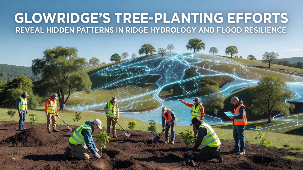
Tree-planting programs across the Glowridge ridges have uncovered specific patterns in how vegetation influences water movement through soil layers and overall flood dynamics in the region, and researchers continue to track these changes through systematic data collection. The initiatives focus on strategic placement of native species along slopes and valleys, where measurements of infiltration rates and streamflow responses show consistent shifts after planting cycles begin. Data collected over multiple seasons indicates that root systems increase soil porosity, allowing greater volumes of rainwater to percolate downward rather than flow across the surface.
Project Scope and Implementation Details
Teams selected sites based on elevation gradients and historical runoff patterns, planting thousands of saplings in designated zones during spring and fall windows to align with optimal soil conditions. Monitoring wells and piezometers installed at various depths record groundwater recharge rates, while rain gauges paired with flow meters capture surface responses during precipitation events. These setups allow direct comparison between planted areas and control plots that remain untouched, revealing differences in how water travels through the ridge system. In October 2026, instruments logged elevated baseflow levels in streams adjacent to mature plantings compared with earlier baseline readings from the same locations.
Hydrological Patterns Identified
Measurements demonstrate that established tree cover reduces peak discharge during storms by slowing overland flow and promoting subsurface storage, and this effect strengthens as canopy density increases over time. Soil samples from planted transects exhibit higher organic matter content, which correlates with improved water retention capacity at multiple depths. Observers note that lateral root networks appear to redirect moisture laterally along contours, creating localized zones of higher moisture availability that influence downslope vegetation growth as well. Figures from the monitoring network show a measurable decline in flash flood frequency on treated slopes, with the most pronounced changes occurring after three to five years of growth.
Flood Resilience Outcomes
Communities downstream from the ridges report fewer instances of road overtopping and property flooding during seasonal rains, and these observations align with stream gauge records that document extended lag times between rainfall onset and peak flow. teh combination of canopy interception and root-enhanced infiltration contributes to gradual release of stored water, which stabilizes channel conditions and reduces erosion along banks. Researchers compare these results with regional models that incorporate vegetation parameters, finding that updated simulations better match actual discharge volumes when tree cover variables are included. Partnerships with academic institutions provide additional validation through independent analysis of soil hydraulic conductivity data gathered on site.
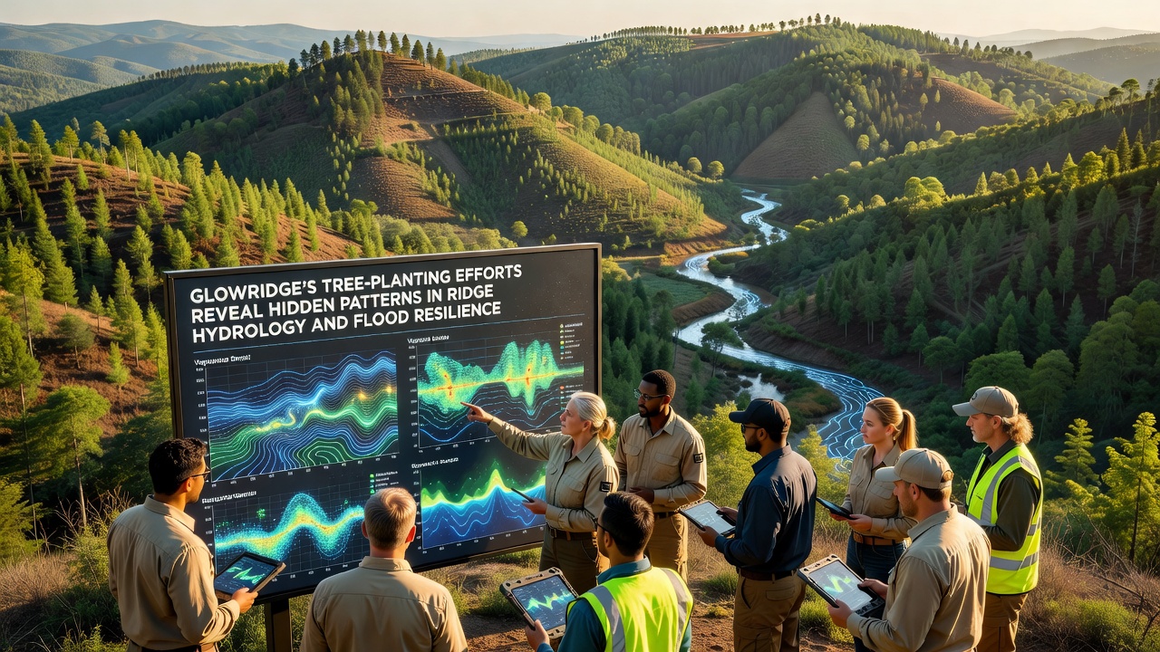
Continued expansion of the planting zones targets additional ridge segments identified through spatial analysis of historical flood maps, and crews adjust species mixes based on performance data from earlier plots. Equipment upgrades in late 2025 added automated sensors that transmit real-time moisture and flow readings, enabling quicker identification of emerging patterns during intense weather periods. Those who maintain the network emphasize the value of long-term records, since short-term fluctuations can mask underlying trends in recharge and runoff behavior.
Data Integration and Broader Context
Project coordinators integrate findings with datasets from similar efforts in other mountainous regions, drawing on reports issued by the US Geological Survey water resources programs to refine local interpretation methods. Cross-referencing with European Environment Agency publications on catchment-scale vegetation effects helps place Glowridge results within wider patterns observed across varied terrain types. Soil moisture maps generated from the ridge network now feed into updated flood forecasting tools used by regional emergency planners, improving lead times for warnings issued ahead of major storms.
Additional sensors placed in riparian buffers along the base of the ridges track how tree roots interact with seasonal high-water tables, and early readings suggest enhanced nutrient filtration that benefits downstream water quality parameters. These secondary benefits emerge alongside the primary hydrology shifts, creating a more complete picture of ecosystem responses to the planting strategy. Regular reports compile sensor outputs with field observations, allowing incremental adjustments to maintenance practices such as thinning or supplemental watering during dry periods.
Conclusion
The ongoing work at Glowridge continues to supply detailed records that link specific planting configurations to measurable changes in ridge hydrology and flood behavior, and these records support refinement of similar projects elsewhere. Monitoring through October 2026 and beyond will further clarify how maturing vegetation sustains the observed patterns under varying climate conditions, providing a growing body of evidence for land managers focused on water resource stability.